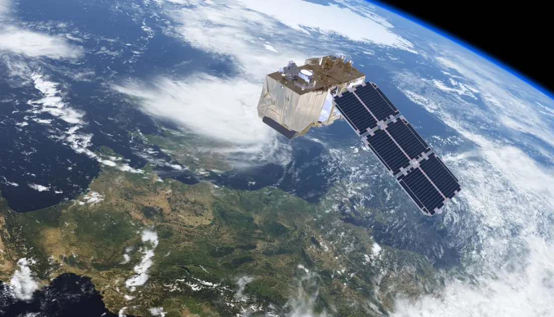
Satellite imagery refers to detailed photographs of Earth’s surface and other celestial bodies captured by cameras aboard orbiting satellites. These images, often in high resolution, provide a bird’s-eye view that reveals geographical features, weather patterns, urban development, and environmental changes. By leveraging advanced sensors and data processing, satellite imagery enables real-time monitoring for applications like disaster response, agriculture, navigation, and scientific research, offering invaluable insights into our planet’s dynamic landscape.
Table of contents
- Part 1: OnlineExamMaker – Generate and share satellite imagery quiz with AI automatically
- Part 2: 20 satellite imagery quiz questions & answers
- Part 3: Try OnlineExamMaker AI Question Generator to create quiz questions
Part 1: OnlineExamMaker – Generate and share satellite imagery quiz with AI automatically
OnlineExamMaker is a powerful AI-powered assessment platform to create auto-grading satellite imagery assessments. It’s designed for educators, trainers, businesses, and anyone looking to generate engaging quizzes without spending hours crafting questions manually. The AI Question Generator feature allows you to input a topic or specific details, and it generates a variety of question types automatically.
Top features for assessment organizers:
● Prevent cheating by randomizing questions or changing the order of questions, so learners don’t get the same set of questions each time.
● AI Exam Grader for efficiently grading quizzes and assignments, offering inline comments, automatic scoring, and “fudge points” for manual adjustments.
● Embed quizzes on websites, blogs, or share via email, social media (Facebook, Twitter), or direct links.
● Handles large-scale testing (thousands of exams/semester) without internet dependency, backed by cloud infrastructure.
Automatically generate questions using AI
Part 2: 20 satellite imagery quiz questions & answers
or
1. Question: What type of satellite imagery is primarily used for monitoring weather patterns?
Options:
A) Optical imagery
B) Radar imagery
C) Thermal infrared imagery
D) Multispectral imagery
Answer: C) Thermal infrared imagery
Explanation: Thermal infrared imagery detects heat signatures, which is essential for tracking cloud temperatures, storms, and atmospheric conditions in weather monitoring.
2. Question: Which satellite provides high-resolution imagery for mapping urban areas?
Options:
A) GOES
B) SPOT
C) GPS
D) ISS
Answer: B) SPOT
Explanation: SPOT satellites offer detailed imagery with resolutions up to 1.5 meters, making them ideal for urban planning and detailed mapping.
3. Question: What does the term “spatial resolution” refer to in satellite imagery?
Options:
A) The color range of the image
B) The size of the smallest feature that can be detected
C) The time between image captures
D) The altitude of the satellite
Answer: B) The size of the smallest feature that can be detected
Explanation: Spatial resolution determines the level of detail in an image, measured by the ground area represented by each pixel.
4. Question: Which band in multispectral imagery is most useful for detecting vegetation health?
Options:
A) Blue band
B) Red band
C) Near-infrared band
D) Microwave band
Answer: C) Near-infrared band
Explanation: The near-infrared band reflects strongly from healthy vegetation, allowing for the calculation of indices like NDVI to assess plant health.
5. Question: How does radar imagery differ from optical imagery?
Options:
A) It requires sunlight to function
B) It can penetrate clouds and operate at night
C) It only captures black-and-white images
D) It has lower resolution
Answer: B) It can penetrate clouds and operate at night
Explanation: Radar uses active sensors that emit microwaves, enabling imaging in all weather conditions and during darkness, unlike optical imagery.
6. Question: What is the main purpose of the MODIS instrument on NASA’s Terra satellite?
Options:
A) Ocean monitoring
B) Land surface and atmosphere observation
C) Star mapping
D) Communication relays
Answer: B) Land surface and atmosphere observation
Explanation: MODIS captures data on land cover, ocean color, and atmospheric conditions, supporting global environmental monitoring.
7. Question: In satellite imagery, what does “panchromatic” mean?
Options:
A) Images in multiple colors
B) Black-and-white images with high resolution
C) Images of the ocean only
D) Low-frequency radar images
Answer: B) Black-and-white images with high resolution
Explanation: Panchromatic imagery combines all visible wavelengths into a single grayscale image, often providing finer detail than color images.
8. Question: Which satellite system is used for global positioning?
Options:
A) Landsat
B) GPS
C) Sentinel
D) IKONOS
Answer: B) GPS
Explanation: GPS satellites provide location and time information worldwide, though they are not primarily for imagery but support geolocation in imagery applications.
9. Question: What role does satellite imagery play in disaster response?
Options:
A) Predicting stock market trends
B) Assessing damage and planning relief efforts
C) Monitoring wildlife migration
D) Tracking fashion trends
Answer: B) Assessing damage and planning relief efforts
Explanation: Satellite imagery helps identify affected areas, monitor changes, and coordinate responses during events like earthquakes or floods.
10. Question: Which factor most affects the quality of satellite imagery?
Options:
A) Satellite speed
B) Atmospheric conditions
C) Number of satellites in orbit
D) User subscription fees
Answer: B) Atmospheric conditions
Explanation: Factors like clouds, haze, and pollution can distort or obscure imagery, impacting its clarity and accuracy.
11. Question: What is temporal resolution in satellite imagery?
Options:
A) The sharpness of the image
B) The frequency of image acquisition
C) The color depth of pixels
D) The satellite’s orbital path
Answer: B) The frequency of image acquisition
Explanation: Temporal resolution refers to how often a satellite revisits and images the same area, crucial for tracking changes over time.
12. Question: Which type of satellite imagery is best for detecting oil spills?
Options:
A) Visible light imagery
B) Synthetic aperture radar (SAR) imagery
C) Ultraviolet imagery
D) Thermal imagery
Answer: B) Synthetic aperture radar (SAR) imagery
Explanation: SAR can detect subtle surface changes on water, making it effective for identifying oil slicks regardless of weather.
13. Question: How is satellite imagery used in agriculture?
Options:
A) To design farm machinery
B) To monitor crop health and yield
C) To predict weather only
D) To market produce
Answer: B) To monitor crop health and yield
Explanation: Imagery analyzes vegetation indices to assess soil moisture, pest infestations, and overall crop performance.
14. Question: What does the acronym “NDVI” stand for in satellite imagery analysis?
Options:
A) National Data Visualization Index
B) Normalized Difference Vegetation Index
C) New Digital Video Interface
D) Networked Data Verification Instrument
Answer: B) Normalized Difference Vegetation Index
Explanation: NDVI uses near-infrared and red bands to quantify vegetation density and health, aiding in environmental studies.
15. Question: Which satellite program is operated by the European Space Agency for Earth observation?
Options:
A) Landsat
B) Sentinel
C) Aqua
D) QuickBird
Answer: B) Sentinel
Explanation: The Sentinel satellites provide free, open-access data for monitoring the environment, climate, and security.
16. Question: Why is geometric correction applied to satellite images?
Options:
A) To enhance colors
B) To align images with accurate geographic coordinates
C) To increase image size
D) To add more bands
Answer: B) To align images with accurate geographic coordinates
Explanation: Geometric correction adjusts for distortions caused by satellite movement and Earth’s curvature, ensuring precise mapping.
17. Question: What advantage does hyperspectral imagery offer over multispectral imagery?
Options:
A) Faster data collection
B) More detailed spectral information
C) Lower cost
D) Simpler processing
Answer: B) More detailed spectral information
Explanation: Hyperspectral imagery captures hundreds of narrow bands, allowing for finer material identification than the broader bands in multispectral imagery.
18. Question: In satellite imagery, what is “orthorectification”?
Options:
A) Correcting for image brightness
B) Removing terrain distortions for a flat representation
C) Adding false colors
D) Compressing file sizes
Answer: B) Removing terrain distortions for a flat representation
Explanation: Orthorectification accounts for elevation and sensor angles to produce an accurate, map-like image without distortions.
19. Question: Which application uses satellite imagery for tracking deforestation?
Options:
A) Social media analysis
B) Environmental monitoring programs
C) Automotive design
D) Fashion industry
Answer: B) Environmental monitoring programs
Explanation: Satellite imagery detects changes in forest cover over time, helping assess and combat deforestation globally.
20. Question: How does satellite imagery assist in climate change studies?
Options:
A) By predicting fashion trends related to weather
B) By monitoring ice melt, sea levels, and temperature changes
C) By tracking animal migrations only
D) By analyzing stock market data
Answer: B) By monitoring ice melt, sea levels, and temperature changes
Explanation: Satellite data provides long-term observations of environmental changes, such as polar ice reduction and rising sea levels, to study climate impacts.
or
Part 3: Try OnlineExamMaker AI Question Generator to create quiz questions
Automatically generate questions using AI