GPS devices, also known as Global Positioning System devices, are sophisticated electronic tools that utilize a network of orbiting satellites to determine precise location, speed, and time information. By receiving signals from at least four satellites, these devices calculate the user’s position on Earth through a process called trilateration, offering accuracy down to a few meters.
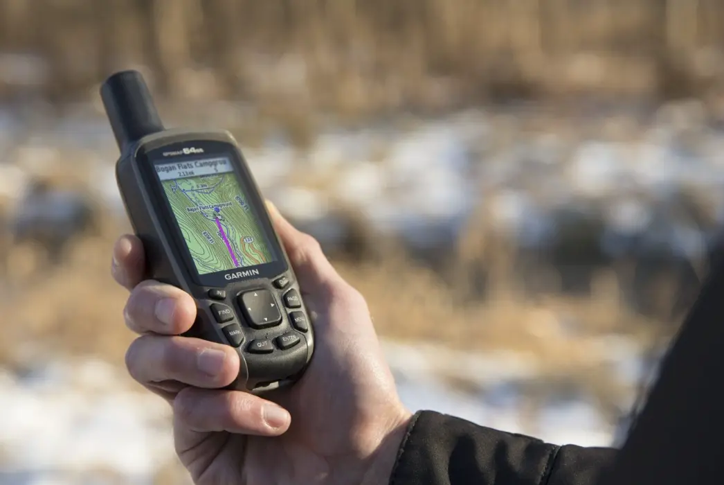
Common types include handheld GPS units for outdoor activities like hiking and geocaching, automotive GPS systems for navigation in vehicles, and integrated GPS in smartphones and wearables for everyday use. They feature intuitive interfaces with maps, turn-by-turn directions, and real-time updates, making them essential for drivers, pilots, and adventurers.
GPS technology excels in various applications, such as vehicle tracking for fleet management, emergency response for locating individuals in distress, and fitness tracking for monitoring runs or cycles. With advancements like augmented reality overlays and integration with apps, modern GPS devices also support features like traffic avoidance, weather alerts, and seamless connectivity to other devices.
Benefits include enhanced safety, improved efficiency in travel and logistics, and reliable performance in diverse environments, from urban areas to remote wilderness. Whether for personal or professional use, GPS devices have revolutionized navigation, providing users with dependable, accurate guidance anytime, anywhere.
Table of Contents
- Part 1: Create A Gps Devices Quiz in Minutes Using AI with OnlineExamMaker
- Part 2: 20 Gps Devices Quiz Questions & Answers
- Part 3: Save Time and Energy: Generate Quiz Questions with AI Technology
Part 1: Create A Gps Devices Quiz in Minutes Using AI with OnlineExamMaker
When it comes to ease of creating a Gps Devices skills assessment, OnlineExamMaker is one of the best AI-powered quiz making software for your institutions or businesses. With its AI Question Generator, just upload a document or input keywords about your assessment topic, you can generate high-quality quiz questions on any topic, difficulty level, and format.
Overview of its key assessment-related features:
● AI Question Generator to help you save time in creating quiz questions automatically.
● Share your online exam with audiences on social platforms like Facebook, Twitter, Reddit and more.
● Instantly scores objective questions and subjective answers use rubric-based scoring for consistency.
● Simply copy and insert a few lines of embed codes to display your online exams on your website or WordPress blog.
Automatically generate questions using AI
Part 2: 20 Gps Devices Quiz Questions & Answers
or
1. What does GPS stand for?
A. Global Positioning System
B. General Positioning Service
C. Global Phone Satellite
D. Geographic Positioning System
Answer: A
Explanation: GPS stands for Global Positioning System, which is a satellite-based navigation system used for determining precise locations on Earth.
2. How does a GPS device determine its location?
A. By using cell tower signals
B. By triangulating signals from satellites
C. By connecting to Wi-Fi networks
D. By measuring atmospheric pressure
Answer: B
Explanation: A GPS device uses trilateration to calculate its position by measuring the time it takes for signals from multiple satellites to reach the receiver.
3. What is the minimum number of satellites required for a GPS device to determine a 3D position?
A. 2
B. 3
C. 4
D. 5
Answer: C
Explanation: At least four satellites are needed for a GPS device to calculate a 3D position, as three provide a 2D fix and the fourth accounts for the receiver’s altitude and time errors.
4. Which frequency band is commonly used by GPS satellites?
A. L-band
B. C-band
C. S-band
D. Ku-band
Answer: A
Explanation: GPS satellites primarily use the L-band frequencies (around 1.5 GHz) for transmitting signals, which allows for better penetration through the atmosphere.
5. What is the primary cause of GPS signal errors?
A. Solar flares
B. Ionospheric delays
C. Device battery life
D. User movement
Answer: B
Explanation: Ionospheric delays, caused by the ionosphere’s effect on radio signals, are a major source of error in GPS positioning, leading to inaccuracies in distance calculations.
6. Which organization originally developed the GPS system?
A. European Space Agency
B. United States Department of Defense
C. Russian Space Agency
D. International Telecommunication Union
Answer: B
Explanation: The GPS system was developed by the United States Department of Defense in the 1970s and later made available for civilian use.
7. What is Differential GPS (DGPS)?
A. A method to encrypt GPS signals
B. A technique to improve GPS accuracy using ground-based stations
C. A type of GPS device for underwater use
D. A software update for GPS receivers
Answer: B
Explanation: DGPS enhances GPS accuracy by comparing GPS signals with known locations at ground stations and providing correction data to the receiver.
8. Which of the following is an application of GPS devices?
A. Weather forecasting
B. Vehicle navigation
C. Email sending
D. Video streaming
Answer: B
Explanation: GPS devices are commonly used for vehicle navigation, providing real-time directions and route planning based on satellite data.
9. What does the term “multipath” refer to in GPS?
A. Signals bouncing off surfaces before reaching the receiver
B. Multiple satellites transmitting at once
C. Overlapping GPS coverage areas
D. Different types of GPS frequencies
Answer: A
Explanation: Multipath occurs when GPS signals reflect off objects like buildings or mountains, causing delays and errors in the receiver’s position calculation.
10. How does Assisted GPS (A-GPS) improve performance in urban areas?
A. By using cellular networks for faster signal acquisition
B. By increasing satellite numbers
C. By reducing device battery consumption
D. By eliminating ionospheric errors
Answer: A
Explanation: A-GPS uses cellular networks to provide initial location data, allowing quicker fixes in areas with weak satellite signals, such as cities.
11. What is the typical accuracy of a standard GPS device?
A. 1-5 meters
B. 100-500 meters
C. 1-5 kilometers
D. Less than 1 meter
Answer: A
Explanation: Under ideal conditions, a standard GPS device can achieve accuracy of about 1-5 meters, though this can vary due to environmental factors.
12. Which component in a GPS device processes satellite signals?
A. Antenna
B. Receiver
C. Battery
D. Display screen
Answer: B
Explanation: The receiver in a GPS device processes signals from satellites, decodes the data, and calculates the device’s position.
13. What is the role of the almanac in GPS operation?
A. It provides detailed orbital data for all satellites
B. It stores user location history
C. It encrypts signals for security
D. It offers a rough overview of satellite positions
Answer: D
Explanation: The almanac is a set of data broadcast by satellites that gives a general overview of all satellite orbits, helping the receiver acquire signals quickly.
14. Why might GPS signals be unavailable indoors?
A. Interference from electronic devices
B. Weak satellite signals penetrating buildings
C. Overheating of the device
D. Low battery power
Answer: B
Explanation: GPS signals are line-of-sight radio waves that struggle to penetrate solid structures like walls, making them unreliable indoors.
15. What is WAAS, and how does it relate to GPS?
A. A global satellite system
B. An augmentation system for better accuracy
C. A type of GPS antenna
D. A software for mapping
Answer: B
Explanation: WAAS (Wide Area Augmentation System) is a U.S. system that provides correction signals to GPS receivers, improving accuracy for aviation and other applications.
16. Which factor most affects the battery life of a GPS device?
A. Screen brightness
B. Number of satellites tracked
C. Device color
D. External temperature
Answer: A
Explanation: Higher screen brightness in GPS devices consumes more power, significantly reducing battery life during prolonged use.
17. How does GPS differ from GLONASS?
A. GLONASS is operated by Russia
B. GPS uses more satellites
C. They are identical systems
D. GLONASS has better accuracy
Answer: A
Explanation: GLONASS is the Russian equivalent of GPS, providing global coverage but operated by a different country, allowing for alternative positioning options.
18. What is the purpose of Selective Availability in GPS?
A. To degrade civilian GPS accuracy for military reasons
B. To enhance signal strength
C. To add more satellites
D. To improve user privacy
Answer: A
Explanation: Selective Availability was a feature that intentionally introduced errors into civilian GPS signals for national security, though it was turned off in 2000.
19. In what year was the GPS system fully operational?
A. 1978
B. 1995
C. 2000
D. 2010
Answer: B
Explanation: The GPS system achieved full operational capability in 1995, with 24 satellites providing global coverage.
20. What privacy concern is associated with GPS devices?
A. Tracking of user locations
B. Overheating risks
C. Signal interference
D. Battery explosions
Answer: A
Explanation: GPS devices can track and record user locations, raising privacy issues as this data could be accessed or misused by third parties.
or
Part 3: Save Time and Energy: Generate Quiz Questions with AI Technology
Automatically generate questions using AI