
A Cloud Firewall is a critical security tool designed to protect cloud-based resources by monitoring and controlling incoming and outgoing network traffic. It functions as a virtual barrier that enforces predefined rules to filter data packets, preventing unauthorized access and...

Searching algorithms are fundamental techniques in computer science used to locate a specific element within a collection of data, such as an array or list. They vary in efficiency based on the data structure and the algorithm employed. Types of...

Electronic components are the essential building blocks of modern electronic devices and circuits, serving as the fundamental elements that manipulate electrical signals and energy. These components can be broadly categorized into passive and active types. Passive components, such as resistors,...

Logistics management is a critical component of supply chain management that involves the planning, implementation, and control of the efficient movement and storage of goods, services, and information from the point of origin to the point of consumption. It encompasses...

Prefabrication is a modern construction technique where building components, such as walls, floors, and modules, are manufactured in a controlled factory environment before being transported to the site for quick assembly. This method enhances efficiency by reducing on-site labor, minimizing...
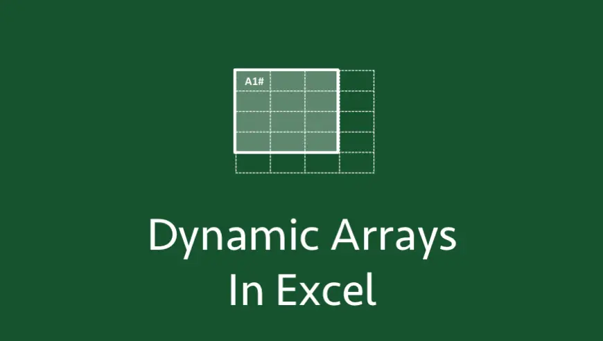
Dynamic array functions in Excel, introduced in Excel 365 and later versions, enable formulas to return multiple values that automatically spill into adjacent cells. This feature transforms how data is manipulated, making it more efficient and flexible. What Are Dynamic...

Internet Privacy Safety encompasses the practices and tools designed to protect personal information from unauthorized access, misuse, or exploitation while using the internet. It involves safeguarding data such as passwords, financial details, and browsing habits from threats like hackers, data...
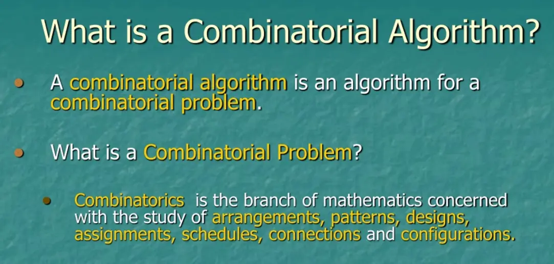
Combinatorial algorithms are computational methods designed to solve problems involving discrete structures, such as sets, graphs, permutations, and combinations. These algorithms focus on tasks like counting possibilities, generating arrangements, searching for optimal solutions, and analyzing combinatorial objects. For instance, they...

Oil and gas operations involve high-risk activities such as drilling, extraction, transportation, and refining, which can lead to hazards like fires, explosions, toxic releases, and environmental spills. Ensuring safety is critical to protect workers, communities, and the environment. Key Hazards...
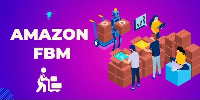
Amazon FBM (Fulfillment by Merchant) is a selling model where sellers handle their own inventory management, storage, packing, shipping, and customer service, rather than relying on Amazon's fulfillment network. Key Features: - Inventory Control: Sellers store products in their own...