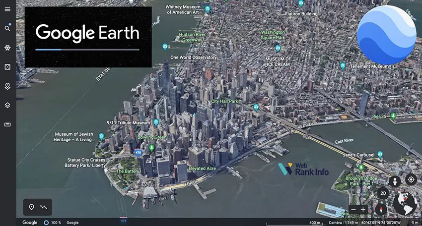
Google Earth is a virtual globe and geographical information system (GIS) developed by Google. It allows users to explore the world through a 3D representation of the Earth, composed of satellite imagery, aerial photography, and various data layers. Google Earth offers both a web-based version and a downloadable desktop application. Here is an overview of Google Earth and its key features:
Satellite Imagery: Google Earth provides high-resolution satellite imagery of the Earth’s surface. Users can zoom in to view specific locations, landmarks, cities, and natural features with exceptional detail.
Aerial Photography: In addition to satellite imagery, Google Earth offers aerial photography that provides a more detailed and realistic view of specific areas.
3D Terrain and Buildings: Google Earth includes 3D terrain modeling, which allows users to view landscapes, mountains, valleys, and other geographical features in three dimensions. It also displays 3D buildings in major cities, adding depth and realism to urban environments.
Street View Integration: Google Earth seamlessly integrates with Google’s Street View, providing users with ground-level panoramic images of streets and locations. Users can navigate through Street View to explore areas as if they were physically present.
Pro Tip
You can build engaging online quizzes with our free online quiz maker.
Article overview
- Part 1: Best AI quiz making software for creating a Google Earth quiz
- Part 2: 30 Google Earth quiz questions & answers
- Part 3: Download Google Earth questions & answers for free
Part 1: Best AI quiz making software for creating a Google Earth quiz
OnlineExamMaker is a powerful AI-powered assessment platform to create auto-grading Google Earth knowledge assessments. It’s designed for educators, trainers, businesses, and anyone looking to generate engaging quizzes without spending hours crafting questions manually. The AI Question Generator feature allows you to input a topic or specific details, and it generates a variety of question types automatically.
Top features for assessment organizers:
● Combines AI webcam monitoring to capture cheating activities during online exam.
● Enhances assessments with interactive experience by embedding video, audio, image into quizzes and multimedia feedback.
● Once the exam ends, the exam scores, question reports, ranking and other analytics data can be exported to your device in Excel file format.
● API and SSO help trainers integrate OnlineExamMaker with Google Classroom, Microsoft Teams, CRM and more.
Automatically generate questions using AI
Part 2: 30 Google Earth quiz questions & answers
1. What is Google Earth?
a) A social media platform
b) A virtual reality game
c) A geographical information system (GIS)
d) An online shopping website
Answer: c) A geographical information system (GIS)
2. What type of imagery does Google Earth primarily use to display the Earth’s surface?
a) Artistic illustrations
b) Aerial photography
c) Hand-drawn maps
d) Satellite imagery
Answer: d) Satellite imagery
3. Which feature of Google Earth allows users to explore ground-level panoramic images of streets and locations?
a) Street View
b) Sky View
c) Voyager
d) 3D Terrain View
Answer: a) Street View
4. How does Google Earth display buildings in major cities to add depth and realism to urban environments?
a) As flat 2D images
b) As blueprints
c) As 3D models
d) As text descriptions
Answer: c) As 3D models
5. What is the primary purpose of Google Earth’s Voyager feature?
a) To allow users to explore stars and planets
b) To provide guided tours and interactive stories about different locations and themes
c) To allow users to measure distances and areas on the map
d) To display weather data in real-time
Answer: b) To provide guided tours and interactive stories about different locations and themes
6. Which Google service is integrated with Google Earth, allowing users to save and share locations, create custom maps, and access additional information?
a) Google Maps
b) Google Translate
c) Google Drive
d) Google Photos
Answer: c) Google Drive
7. What can users explore in Google Earth’s Sky View mode?
a) Ocean depths and underwater life
b) Stars, planets, constellations, and other celestial objects in the night sky
c) Historical satellite imagery
d) Real-time traffic and road conditions
Answer: b) Stars, planets, constellations, and other celestial objects in the night sky
8. What type of tours and educational content can users find in Google Earth’s Voyager feature?
a) Real-time news updates
b) Virtual reality games
c) Curated guided tours and interactive stories
d) Music playlists and concerts
Answer: c) Curated guided tours and interactive stories
9. How can users measure distances and areas on the map in Google Earth?
a) Using the Sky View feature
b) By enabling 3D Terrain View
c) By using measurement tools
d) By submitting photos and reviews
Answer: c) By using measurement tools
10. What is the purpose of the “Historical Imagery” feature in Google Earth?
a) To provide historical weather data
b) To showcase how certain locations have changed over time through past satellite imagery
c) To display historical landmarks and monuments
d) To show historical roadmaps and transportation routes
Answer: b) To showcase how certain locations have changed over time through past satellite imagery
11. Which feature of Google Earth allows users to explore the world as if they were physically present at specific locations?
a) Sky View
b) Street View
c) Voyager
d) 3D Terrain View
Answer: b) Street View
12. What is the primary advantage of using Google Earth’s mobile app?
a) Access to online shopping features
b) Ability to explore virtual reality environments
c) Convenient exploration of the world on the go
d) Access to Google Earth’s offline mode
Answer: c) Convenient exploration of the world on the go
13. What can users access through Google Earth’s offline mode?
a) Live weather updates
b) Real-time satellite imagery
c) Virtual reality tours
d) Downloaded maps and imagery for specific areas
Answer: d) Downloaded maps and imagery for specific areas
14. Which of the following is NOT a type of imagery provided by Google Earth?
a) Satellite imagery
b) Aerial photography
c) Hand-drawn maps
d) Historical imagery
Answer: c) Hand-drawn maps
15. How can users access Google Earth?
a) Only through a desktop application
b) Only through a web-based version
c) Both through a desktop application and a web-based version
d) Only through a mobile app
Answer: c) Both through a desktop application and a web-based version
Part 3: Download Google Earth questions & answers for free
Download questions & answers for free
16. What can users find in Google Earth’s “Voyager” section?
a) User-submitted photos and reviews
b) Interactive stories and guided tours
c) Real-time traffic information
d) Virtual reality games
Answer: b) Interactive stories and guided tours
17. What is the purpose of Google Earth’s measurement tools?
a) To calculate distances, areas, and perimeters on the map
b) To measure the size of buildings in 3D Terrain View
c) To estimate the speed of moving objects
d) To convert distances and areas between different units of measurement
Answer: a) To calculate distances, areas, and perimeters on the map
18. Which Google service is integrated with Google Earth, allowing users to access their saved locations and custom maps?
a) Google Photos
b) Google Drive
c) Google Maps
d) Google Translate
Answer: b) Google Drive
19. What is the primary purpose of Google Earth’s “3D Terrain and Buildings” feature?
a) To display virtual reality environments
b) To showcase 3D artwork and illustrations
c) To view landscapes and buildings in three dimensions
d) To provide a virtual tour of historical landmarks
Answer: c) To view landscapes and buildings in three dimensions
20. How does Google Earth provide a realistic view of cities with 3D buildings?
a) By displaying cardboard cutouts of buildings
b) By using artistic illustrations
c) By showcasing real-time images of cities
d) By rendering 3D models of buildings
Answer: d) By rendering 3D models of buildings
21. What is the primary benefit of using Google Earth’s mobile app compared to the desktop application?
a) Access to offline mode for exploration without an internet connection
b) Access to guided tours and interactive stories in the Voyager feature
c) Availability of higher resolution satellite imagery
d) Integration with Google Drive for storing and sharing maps
Answer: a) Access to offline mode for exploration without an internet connection
22. What feature of Google Earth allows users to explore stars, planets, and constellations?
a) Street View
b) Sky View
c) Voyager
d) 3D Terrain View
Answer: b) Sky View
23. What is the purpose of Google Earth’s “Historical Imagery” feature?
a) To provide a real-time view of certain locations
b) To display historical landmarks and monuments
c) To showcase past satellite imagery and how locations have changed over time
d) To allow users to view virtual reality environments
Answer: c) To showcase past satellite imagery and how locations have changed over time
Just to let you know
Sign up for a free OnlineExamMaker account to create an interactive online quiz in minutes – automatic grading & mobile friendly.
24. How can users explore ground-level images of streets and locations in Google Earth?
a) By using the measurement tools
b) By enabling 3D Terrain View
c) Through the Sky View feature
d) By using Street View
Answer: d) By using Street View
25. What can users explore in Google Earth’s Sky View mode?
a) Historical satellite imagery
b) Stars, planets, constellations, and other celestial objects in the night sky
c) Real-time traffic and road conditions
d) Ocean depths and underwater life
Answer: b) Stars, planets, constellations, and other celestial objects in the night sky
26. Which Google service is integrated with Google Earth, allowing users to save and share locations, create custom maps, and access additional information?
a) Google Maps
b) Google Drive
c) Google Translate
d) Google Photos
Answer: b) Google Drive
27. What can users explore in Google Earth’s Voyager feature?
a) Real-time news updates
b) Virtual reality games
c) Curated guided tours and interactive stories
d) Music playlists and concerts
Answer: c) Curated guided tours and interactive stories
28. How can users measure distances and areas on the map in Google Earth?
a) Using the Sky View feature
b) By enabling 3D Terrain View
c) By using measurement tools
d) By submitting photos and reviews
Answer: c) By using measurement tools
29. What is the purpose of the “Historical Imagery” feature in Google Earth?
a) To provide historical weather data
b) To showcase how certain locations have changed over time through past satellite imagery
c) To display historical landmarks and monuments
d) To show historical roadmaps and transportation routes
Answer: b) To showcase how certain locations have changed over time through past satellite imagery
30. Which feature of Google Earth allows users to explore the world as if they were physically present at specific locations?
a) Sky View
b) Street View
c) Voyager
d) 3D Terrain View
Answer: b) Street View